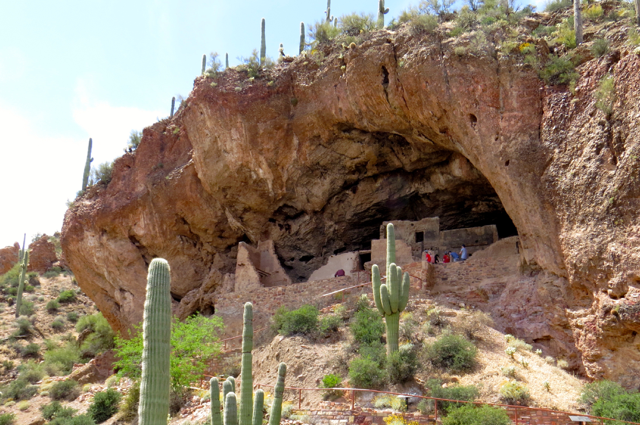
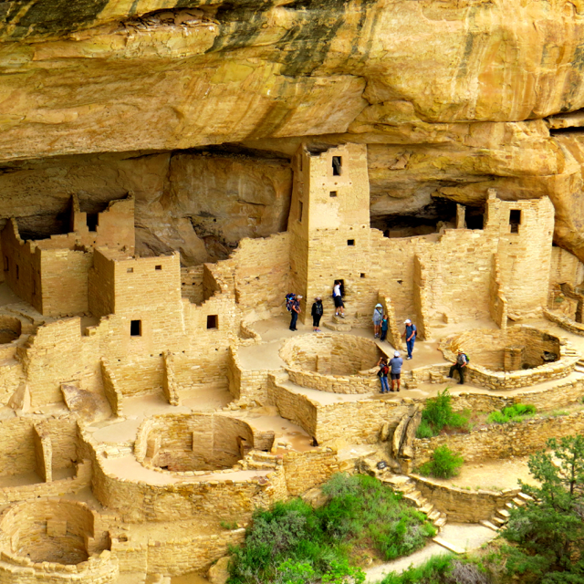
Cliff Palace, one of the dwellings you can visit at this park.
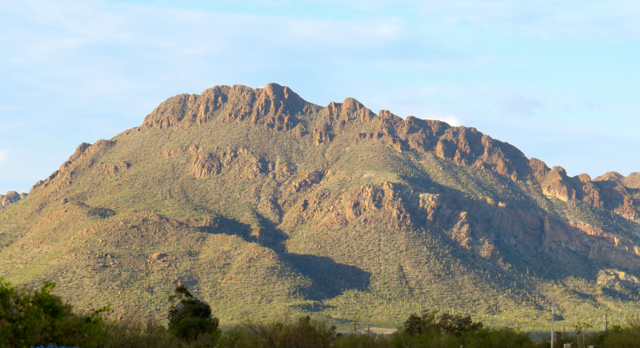
Mesa Verde National Park is one of the parks I have always wanted to visit. When you have anticipated something for so long there is always a possibility one will be disappointed but the park was a wonder and fulfilled all my expectations and more. For one thing Mesa Verde is not just one large ruin to be visited like I imagined. The mesas are a huge complex of many different types of cliff dwellings as well as the type of architecture that came before the cliff dwellings. You leave there with a much better understanding of how this civilization developed. There are still many mysteries that archeologists are trying to unravel and some things that we will never know the answers to. Many different tribes still visit and hold ceremonies here because it was the home of their ancestors.

Another view of Long House
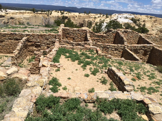
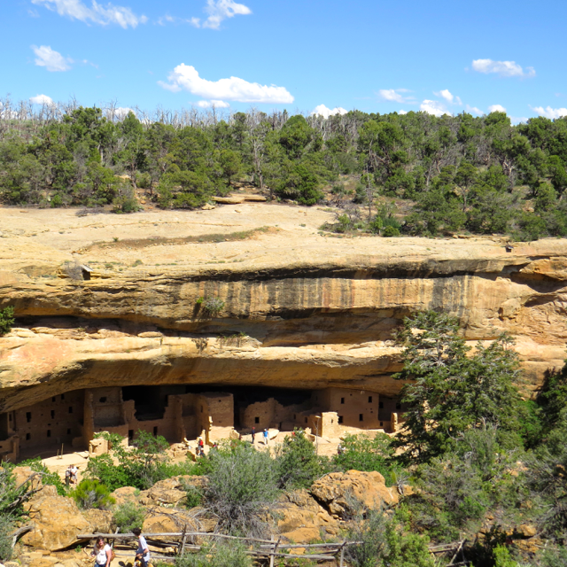
The park contains over 600 cliff dwellings and over 4,500 archeological sites with only a fraction open to the public but there is still so much to see and do at the park. To visit Balcony House, Cliff Palace and Long House you must join a ranger guided program. The tours are somewhat strenuous, you have to descend from the mesa top usually climb several ladders and in one case climb through a narrow 12 foot tunnel at Balcony House. Because of my bad knee that was the one tour I missed.

Climbing up after visiting the cliff dwelling.
There are also a number of self guided sites like Spruce Tree House (one of my favorites!), Step House and Badger House Community. Badger House community shows how the building styles evolved over six hundred years from pit houses to cliff dwellings.
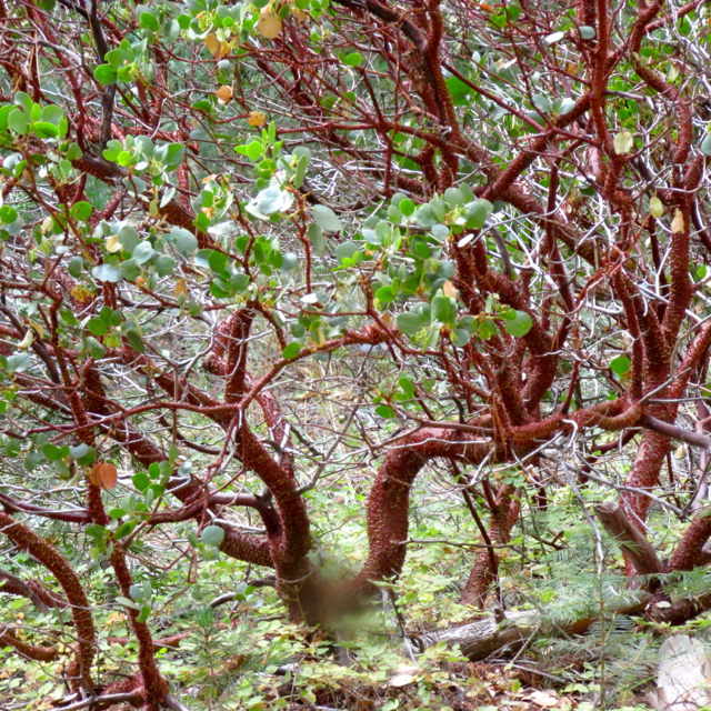
Imagine dozens of people climbing up and down those sandstone walls to get to the fields above.
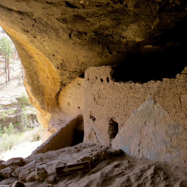
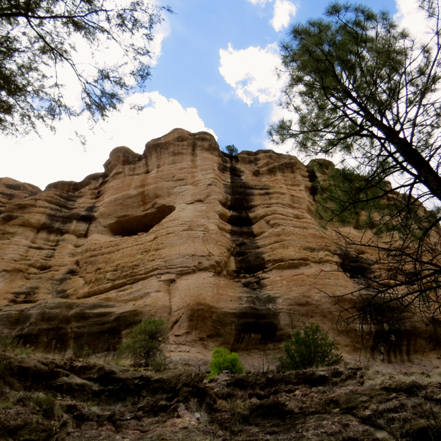
My favorite tour was Long House, mostly because the guide was so passionate about the place. At the end of the tour you left with a real feeling for the past and the lives that lived there. One of the main differences today is that the top of the mesas are forested, when the cliff dwellings were occupied the top of the mesas were all farm land. The people used hand holds in the sand stone to climb back and forth from the dwellings to the fields, it was quite high and I tried to imagine young children and also older people climbing up and down the walls. I wouldn’t have made a good ancestral pueblo Mom, I would be a nervous wreck about the children climbing. One of the theories archeologists have about why the people began to build cliff dwellings was that as the population grew they needed more farmland so they began to build their homes in the cliffs to free up more land. The older dwellings of these people are on top of the mesas and are similar to the structures modern Hopi’s make.
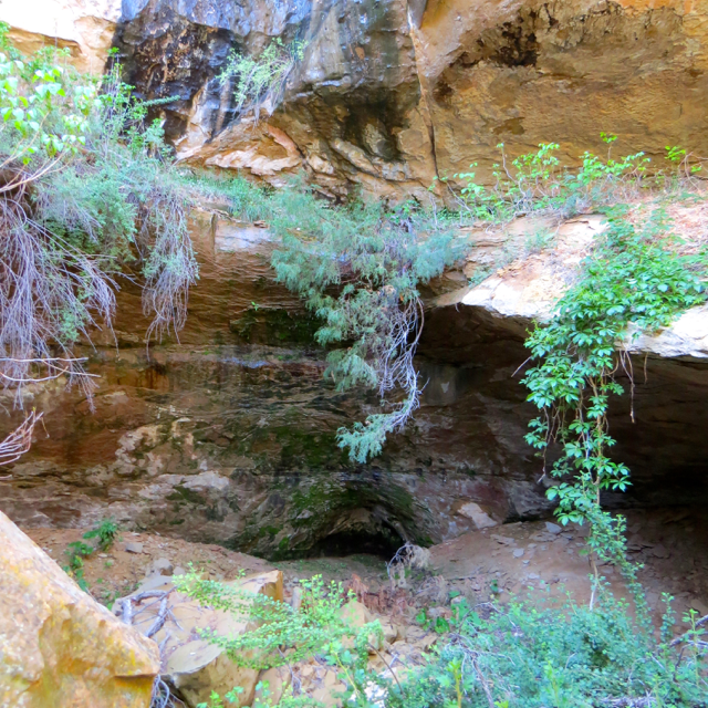
Green area in back of Long House where water is seeping in.
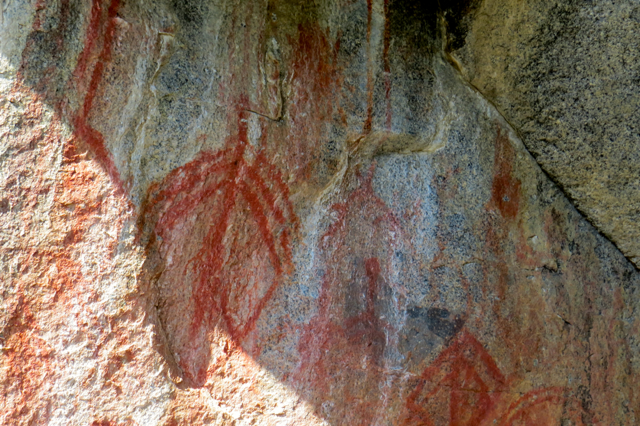
Our guide to the Long House showed us how water would seep from the sandstone at the back of the cave and the people built cisterns to hold the water. Like Cliff Palace, Long house also had several towers built with ancient paintings inside so we know they liked to decorate their dwellings. The fact that a painting would last that long is a testament to the dry desert air of this area.
Inside of a kiva.
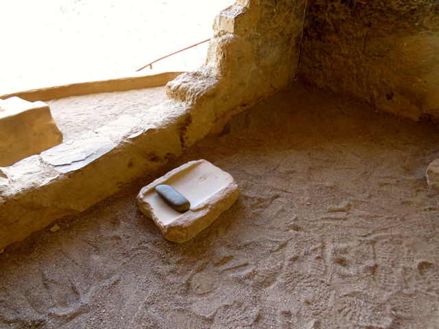
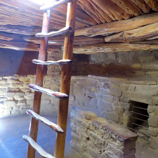
One part of the structures that fascinated me was the kivas. These are round underground rooms within the cliff dwellings. Although most of the kiva’s here are open, normally they would have a closed roof. You would enter the kiva from a ladder in the top. I climbed down into one at Spruce Tree House. I sat quietly and watched the light filter down from the top and tried to imagine the people sitting here many hundreds of years before, doing whatever their routine was in daily life.

Looking down on an open Kiva one can see the fire pit, ventilation hole and shield. The small hole towards the left is called a sipapu and it is believed to be a ritual entrance from another world.
Would there be a fire lit in the center of the kiva? Each Kiva was also equipped with a ventilation shaft which had an air deflector, when a fire was burning it would draw air from the shaft and the ventilation shield would keep the air from blowing directly into the fire. The smoke would leave from the same hole you climbed down into the kiva with. I imagine the kiva to be a cozy place in the cold winter months.
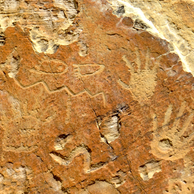
Looking up into one of the towers at Cliff Palace. Can you see the painting?
Even though I spent a week at Mesa Verde, it still wasn’t enough – there was so much more to learn. The site has an excellent Archeological Museum with beautiful examples of pottery, basketry, tools and clothing. Today, many native people including the Hopi, Navaho, Zuni and Acoma regard these structures as home of their ancestors. Each group has elements of this culture in their cultures today. The traditions are living and continue on for these people and they are gracious to share their culture with us.
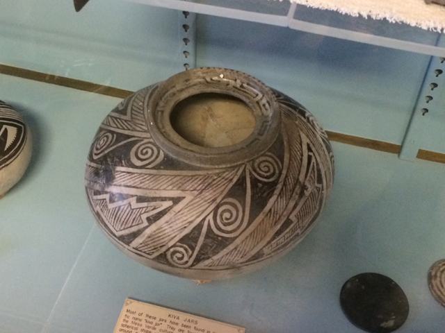
An example of the pottery found at the site.


")